


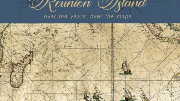
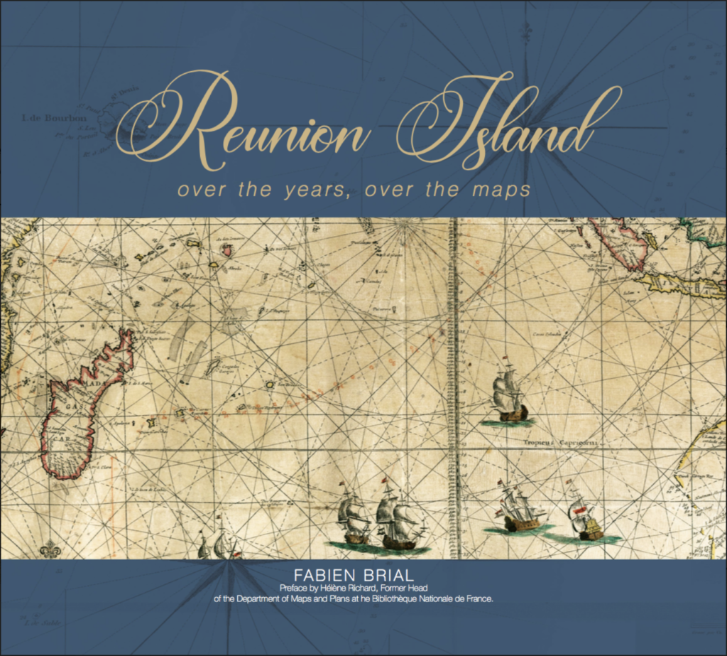
Fabien Brial Tells the Story of Reunion Island Through 33 Historical Maps
A graduate of Science Po, a professor of history and geography, and the first doctor of law from the University of Réunion, where he now teaches urban planning and tourism, Fabien Brial is the author of Reunion Over The Maps. Though he wasn’t born here -he arrived as a child- he feels “Reunionese by conviction.”
Published in the Italian format, which is very suitable for cards, his book has been reissued for the 4th time since 2016 and has just been released in a deluxe edition, in an English version and in a digital edition -in December 2022. A film was also released in 2021 – in a 52-minute format and in a 10 times 6-minute series for schools.
If one may imagine that it is a geography book, since it brings some maps together, Reunion Over the Maps actually tells us about the history of the island. One after the other, the maps reveal the state of knowledge of the world at their time, and also show the representation that political decision-makers may have had of it. It also reveals the evolution of toponymy and explains how certain names were sometimes attributed to flatter some powerful people’s ego.
A good opportunity to interview this passionate expert who wants to make this story known to as many people as possible.
How did you come up with this idea for a book based on maps?
The original idea came to me because I like maps of course, and because we can make them speak, if we read them well, there is so much we can learn! I liked the novelty of it all, and I especially wanted to try to talk about the history of Reunion over a long period of time. The islands of Mauritius, Rodrigues and Reunion are islands that had no human population before being discovered by the Portuguese, then they were colonized by the Dutch, then the French and the English. So it all started from uninhabited islands and their settlement tells their story, the maps also tell us about that settlement. Recent history sheds light on an older history. These maps allow the trajectory of the island to be put into perspective and they also tell us about its identity, that of the different waves of settlements: a destination chosen, for some, but imposed for the majority, because of slavery (abolished on December 20, 1848).
The idea also came to me because today’s society inherits all that and doesn’t necessarily know about it. And yet one’s heritage is quite essential.
What heritage do you have in mind?
“Interbreeding” is a very particular heritage in Reunion, and the specific culture mixes European, Asian and African contributions and this culture mix is very singular – it is also that of religions. The heritage of Reunion par excellence is its gastronomy which is probably its best symbol: it epitomizes this melting pot since Reunionese cuisine is at the crossroads of all the cuisines of the cultures that one encounters here. Food is central, with all its spices.
You were telling me that the making of the book also had to do with more personal reasons?
Indeed, I grew up here, went to school here until I was 18 and when I arrived at Sciences Po. in mainland France, in Aix en Provence, I realized that I had never had history and geography lessons on my island, so I wanted to share that. Unfortunately, there is still very limited history taught today, many Reunionese become adults without ever having had lessons on their territory either in history or geography, or even on their origins. In my opinion, this – partly – explains the identity problem that you can see here. To me, this question of identity is more crucial than we may gauge. Don’t get me wrong, of course the idea is not to focus on that history only, but the idea is to make pupils and students work on their island’s history as well. History and geography should not be centered only on what is going on throughout the whole world, the USA, mainland France or Japan, but also what is happening in the Indian Ocean and the Indo-Pacific world. The challenges to be met here cannot be properly addressed without understanding the specificities of this area. Which is the case everywhere of course, but maybe even more so as the way it was peopled is quite unique.
Yet it is an island that has an active university, doesn’t it?
Yes, sure, but even at the university here there are no classes offered on the issue of slavery here or on the history of the island. It is essential to have experts in old European questions but it would be good to offer some courses on Reunion and its history and its evolution.
It is all the more regrettable as there are quite a few challenges to be met here, but how to meet them without having a precise idea of our identity, our background and the specific period we are in? How do you improve things for the future without understanding the trajectory?
So this project, and that of the film made from this book, is a contribution to the desire to make this story better known to the Reunionese, schoolchildren and adults as well, but also to the world in a more modest way of course, so that we can better understand these islands. (*) Hence the idea of the digital version accessible from anywhere and on which you can zoom in on the maps, which is a real asset.
You talk about challenges to be met, which ones in particular for the Reunion island?
Within twenty years, the population of the island has increased from 700,000 inhabitants to 900,000 therefore it has almost doubled over the past 50 years! This huge increase occurs on a constrained territory, with an area of 2,500 km2, of which 40% are protected from any development. The density observed in certain areas is thus very high. The population continues to grow, but progressive aging is now a major challenge on an island where 40% of the population lives below the poverty line -compared to 14% in mainland France. This represents a lot of challenges to be met, in social and economic terms… The island’s food dependence is very strong due to imports… Traffic is saturated – the island is famous for its traffic jams, but there were +33,500 cars in 2019 and the figures were still on the rise in 2021. It’s an amazingly huge market for a small island.
To make things worse, climate change threatens coastal areas, precisely the places that concentrate people and activities. Several areas will be affected by the rise in sea level and we are already seeing a decline in beaches, as in the other islands of the Indian and Pacific Oceans.
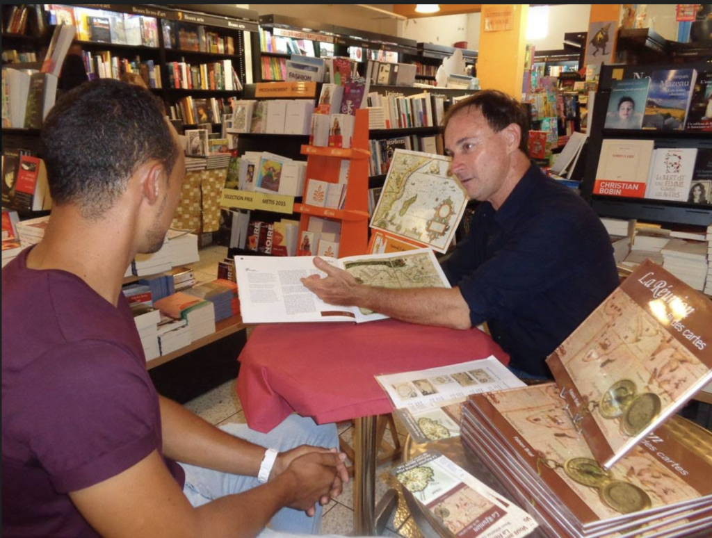
This book made you travel, since you participated in literary fairs and film festivals, what do these encounters with readers and viewers bring you?
Meetings are always a means to see how your work is received. Both the book and the film have been very well received, both by people who know the island well and others who do not know it yet. I have indeed gone to many places for meetings, because what matters to me is to make the history of our island better known. What touched me the most, in my meetings, was an inmate from a prison, in a town called Le Port, he was about 40 years old and at the end of my lecture he said to me: “It’s the first time I’ve been told about myself, about my own history.” When it was released in 2016, the book was offered to President Hollande, the Prime Minister and our prefect, but the reaction of this prisoner at that lecture was very moving for me, he felt touched and concerned. He did not know the history of his island, therefore his own. I found similar reactions from relatively old people who had the same feeling. The insularity reinforces the feeling of belonging, these are specific territories, some have never left their island which they really love.
(*) A member of the Geography society, Fabien Brial has also published a book on New Caledonia over the maps and is currently working on a book on Madagascar and one on Mauritius: the Mascarenes over the maps. He is the author of many works on law, history and geography as well.
Header Photo Credit: Fabien Brial
About the Author
Isabelle Vaurie has graduated in English and in sociology. She teaches English to post graduates and has been living on the Reunion Island since 2021 where she has settled down after many trips and moves.
Related Posts

The Industrial Revolution and the Evolution of Watchmaking →
Preserving Heritage: A Guide to Finding Sources and Resources →

Parisian Pleasures vs. New York’s Urban Energy: A Lifestyle Comparison →


Great job Isabelle
Thank you Martin !